I love maps – I believe mapping is one of the most efficient and visually interesting ways to tell a story. I have a graduate certificate in GIS and have made interactive and static maps using ESRI and Adobe products. Check out a few of them below!

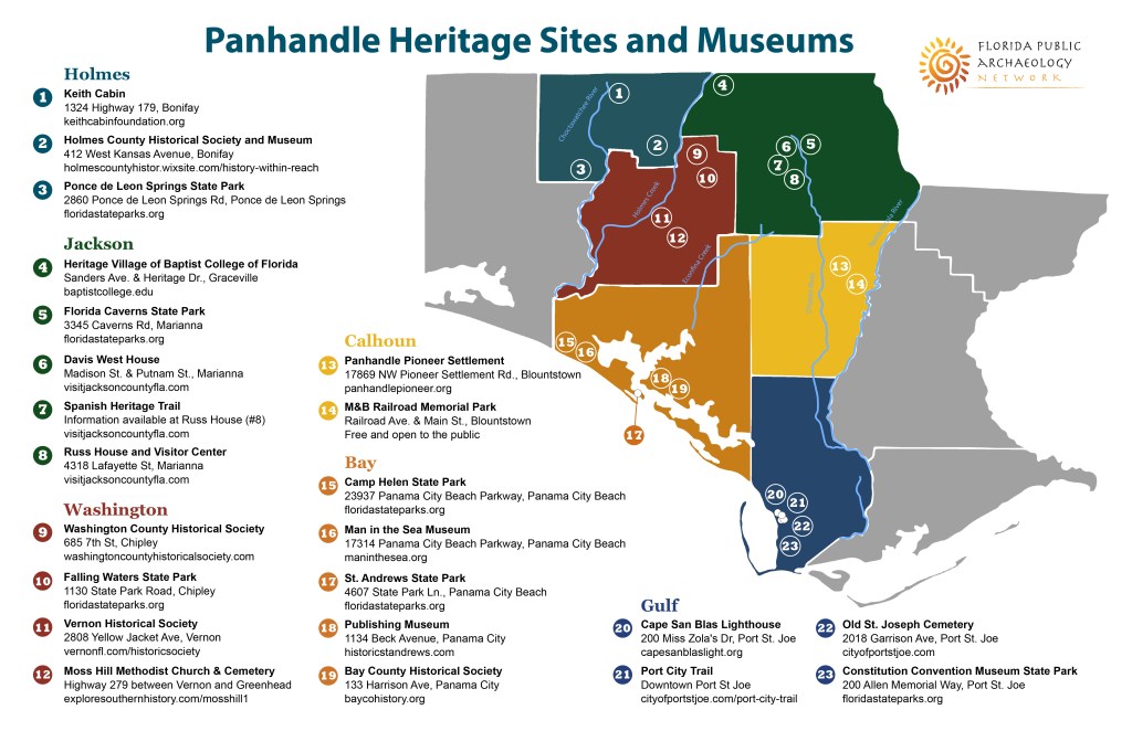
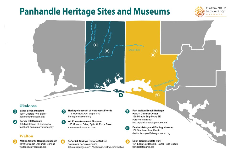
In 2019-2020, I assisted with efforts to establish the Florida Panhandle Maritime National Heritage Area by mapping the region’s unique cultural and natural resources. Browse the maps in the gallery below.


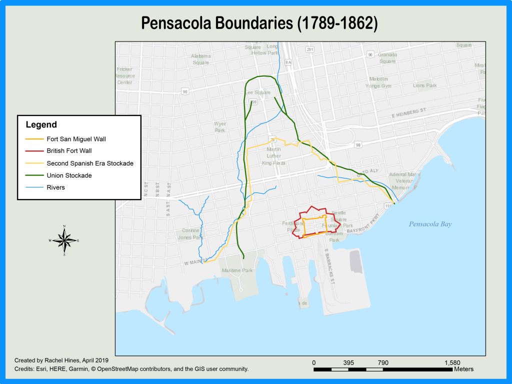
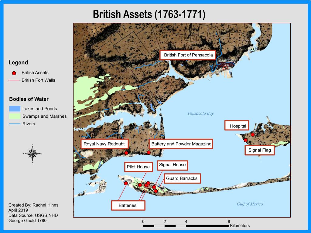
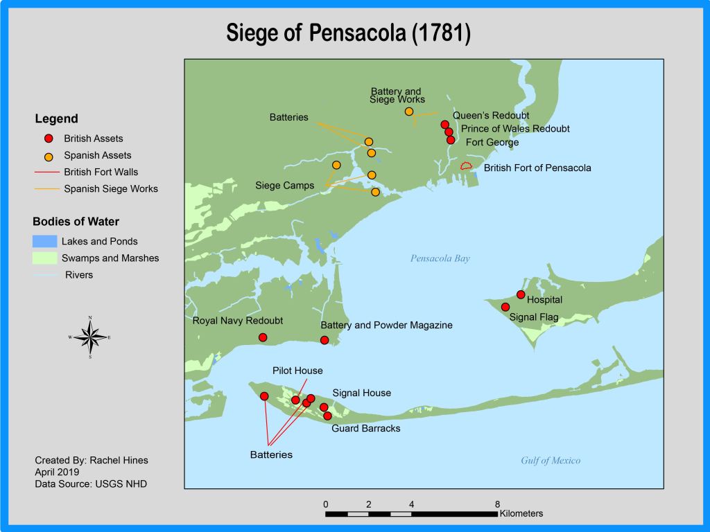
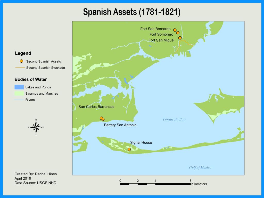
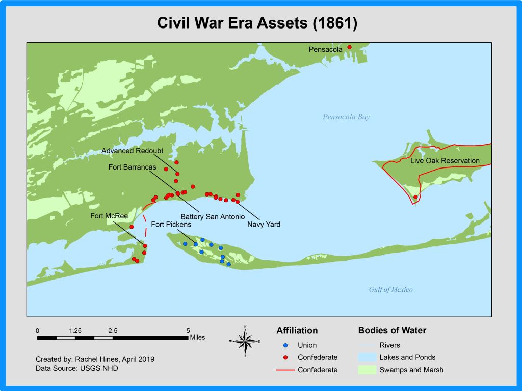
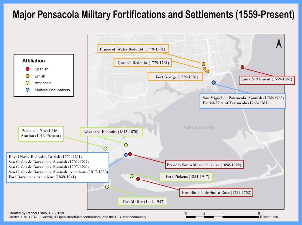
In 2019, I worked with Dr. Bill Lees of the Florida Public Archaeology Network to map Pensacola’s defensive landscape over the past four centuries. We used historical maps, archaeological data, and the modern landscape to represent how Pensacola has been (and continues to be) a strategic military landscape. Browse a few of the maps in the gallery below.